Here you can find the resources we are developing for the journey. Many of these are linked to the smartphone app.
53 resources were found:
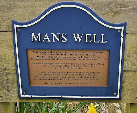
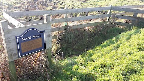
Mans Well plaque
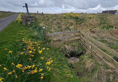
Site of the Mans Well, restored by Birsay Heritage Trust in 2012.
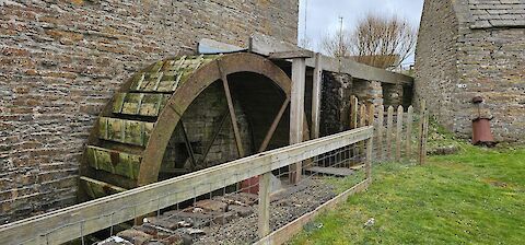
Barony Mill is active and grinds bere meal, an ancient grain similar to barley, during the winter.
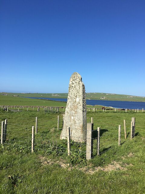
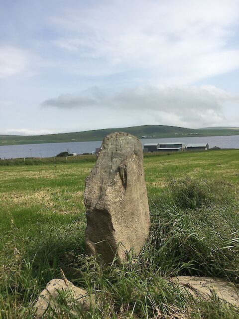
Picture of Wheebin
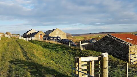
Historical information about Housby
Historical information about Wheebin Standing Stone.
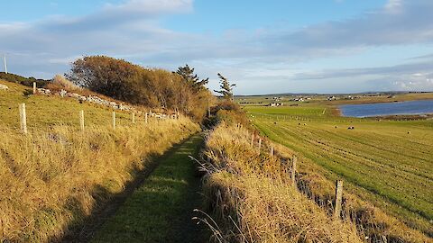
Photo of Nether Fea.
Photograph of the Midhouse Waypoint.
Historical information about Greenay
Historical information about Saevar Howe.
Historical information about the Mans Well in Birsay.
A photograph of the Mans Stane at Strathyre.
Photograph of Cloke Waypoint.
Photograph of Kirbuster Waypoint.
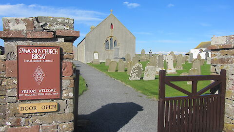
Historical information about Birsay.
A reflection at Midhouse by Allan McCafferty.
Historical information about Kirbuster.
Historical information about the Mans Stone at Strathyre
Our theme for this stage of the journey is Growth – reflecting on the growth of the cult of Magnus in the years following his death and in the shifting base of power from West to East in Orkney, as well as in our own stories of growth.
An overview of the origins of Kirbuster as derived from its etymology and historical location.
Historical information about Twatt Church, Birsay
A short overview of the historical significance of the Mans Stones and the Strathyre stone in particular.
Map of the route of the second section of the St Magnus Way, from Birsay to Dounby.
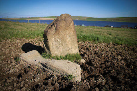
The Mansie Stane at Strathyre
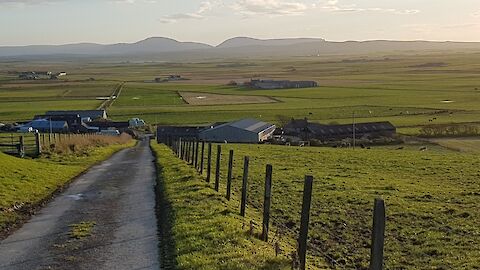
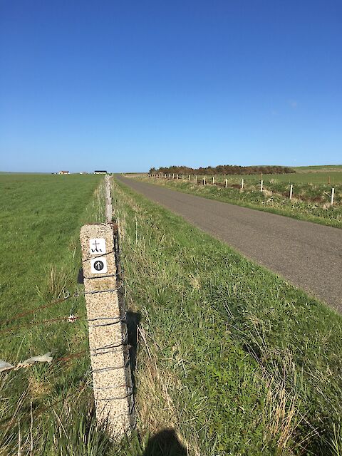
Description of the route from Birsay to Dounby
Downloadable GPX file of Birsay to Dounby route for use with mapping applications, including Ordnance Survey.
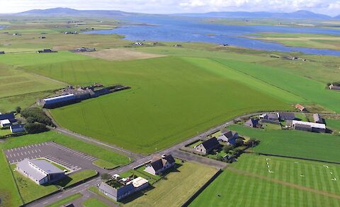
Image of Milestone Community Church (bottom left) from above.