Here you can find the resources we are developing for the journey. Many of these are linked to the smartphone app.
25 resources were found:
Downloadable GPX file of Evie to Birsay route for use with mapping applications, including Ordnance Survey
Historical information about Chrismo
Historical information about Chrismo
Reflection on the importance of sight lines in medieval times
Audio file unavailable.
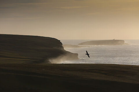
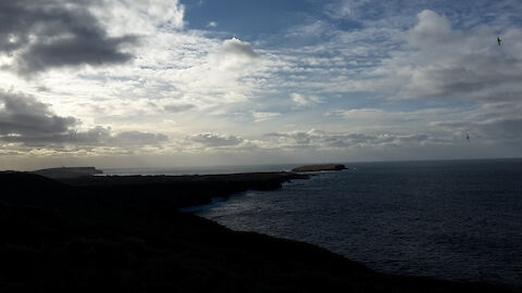
Photograph of the view from Costa towards Birsay
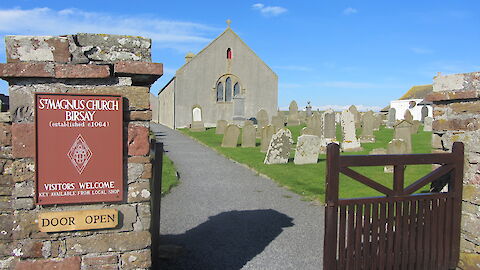
Historical information about St Magnus Church, Birsay
Historical information about St Magnus Church, Birsay
Map of the route of the second section of the St Magnus Way, from Birsay to Dounby.
Historical information about the Mans Well in Birsay.
Historical information about Twatt Church, Birsay
Historical information about Wheebin Standing Stone.
Historical information about Kirbuster.
Historical information about Saevar Howe.
Historical information about Greenay
Historical information about Birsay.
The name Whilcoe, now Quilco and the name of a housing estate, referred at the end of the nineteenth century to a boundary stone marking the three parishes of Birsay, Harray and Sandwick.
Description of the route from Evie to Birsay.
A short overview of Birsay's significance as the seat of the Earls of Orkney up until the death and reinterment of St Magnus in the 12th century.
A short overview of the historical significance of the Mans Stones and the Strathyre stone in particular.
An overview of the origins of Kirbuster as derived from its etymology and historical location.
An imaginative piece from the perspective of a medieval pilgrim approaching the Brough of Birsay by Graeme Brown.